

Water is one of the biggest controllable operating costs on a golf course, and irrigation volumes can be substantial. Practical irrigation demand for an 18-hole facility can run up to ~100,000 gallons per day during peak dry periods (varies by course, weather, and agronomics). Separately, USGA research shows regional water use varies widely, and annual irrigation water cost can be material—USGA reported Southwest-region facilities had among the highest costs, around $107,800 per year for an average 18-hole course (region-dependent).
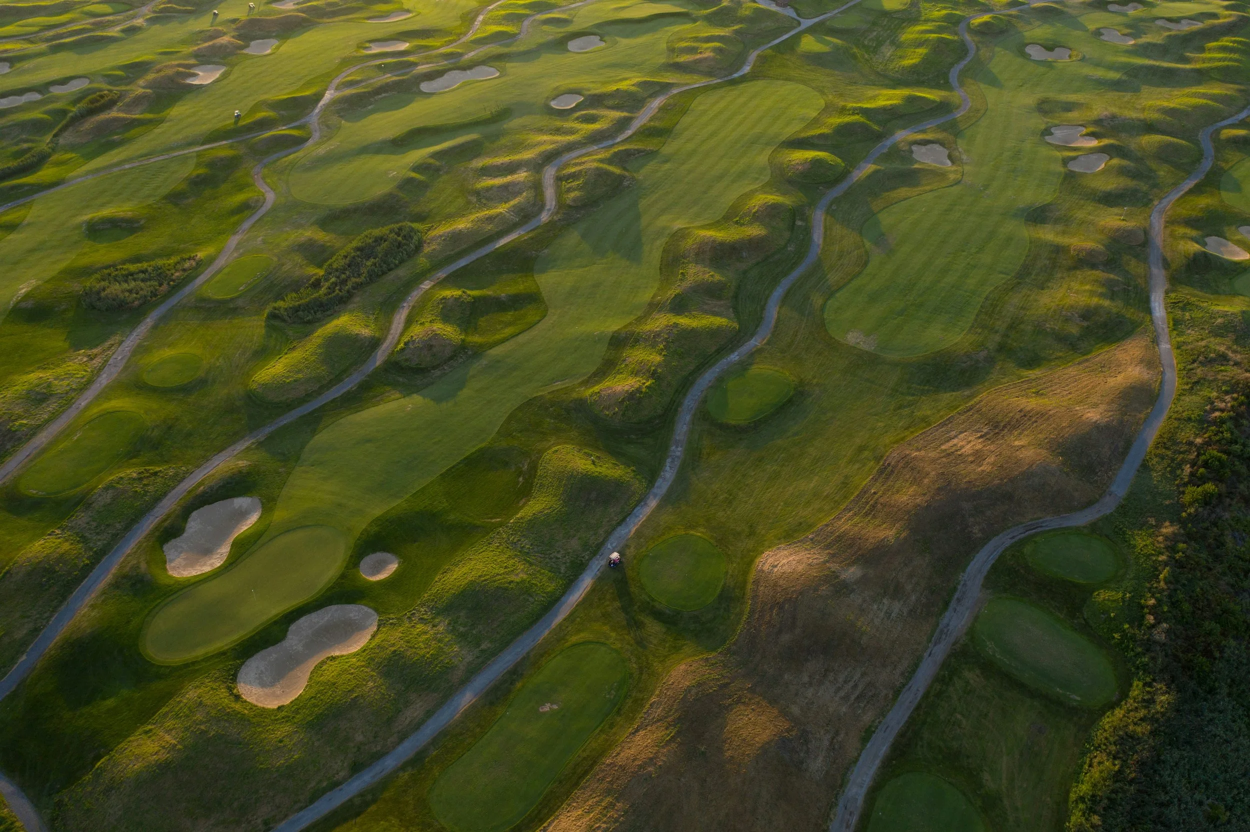
Latitude 32 uses aerial imaging to help course teams see irrigation inefficiencies and turf stress patterns earlier and across the entire property—not just where staff happens to walk that day. USGA guidance notes remote sensing can identify turf stress before it is visible to the human eye, supporting more targeted investigation and response. With aerial capture, course managers can more quickly isolate issues like dry spots, overspray, drainage problems, worn traffic corridors, and localized stress that often lead to unnecessary water and fertilizer applications.
To put scale behind the savings conversation: one state water-use reference notes that applying 0.4 inches of water equals about 10,861 gallons per week per acre (and higher application rates scale accordingly). Even small reductions in overwatering or better targeting can add up quickly across irrigated acreage. Latitude 32’s deliverables are designed to support smarter watering decisions, reduced waste, and cleaner documentation—while also producing high-end footage that sells the course.
On the revenue side, aerial content is a direct marketing asset: signature-hole flyovers, course-condition updates, membership campaigns, outings/tournament promos, and resort/amenity visuals. The point isn’t “pretty video”—it’s bookings, memberships, and events supported by visuals that show layout, elevation, scenery, and facilities in a way ground photography cannot.